Remote Sensing Learning Diary
Spatial Analysis
Remote Sensing
A learning diary of remote sensing technologies and its applications covered in a master’s module at UCL CASA.
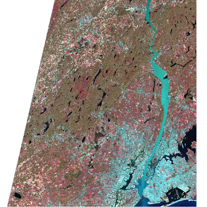
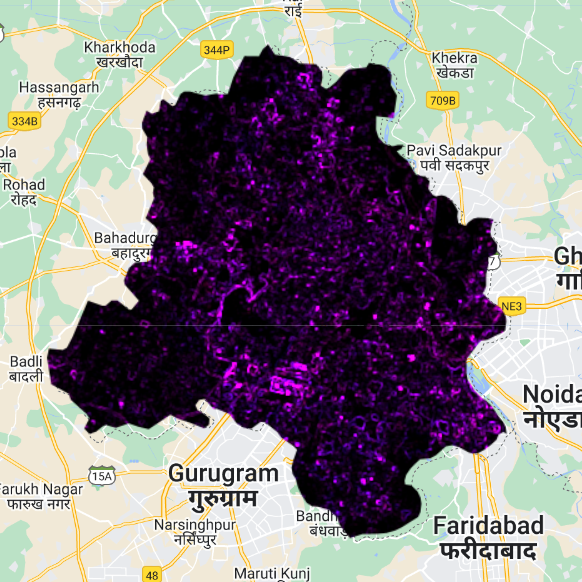
The Remote Sensing Learning Diary is an academic project at UCL CASA, as part of the Remote Sensing Cities and Environment module. The learning diary summarises the content of the module, relevant applications, and personal reflections based on the contents. The website was created using Quarto, with presentations built using the Xaringan package in R.
A portion of this module was dedicated to creating online portfolios - which was what had motivated me to compiling this website.